
GTA 6 region
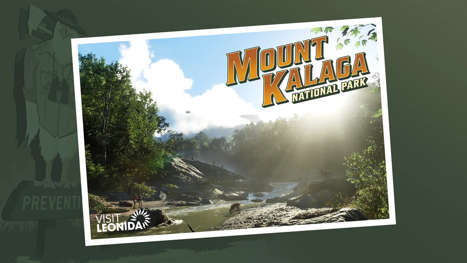
Mount Kalaga National Park
Hills, canyons and backwoods outsiders
Inspired by North Florida and Georgia uplands, such as Providence Canyon (fan inference)
Last updated by the GTA Scoop editorial team
Key facts
- Inspired by: North Florida and Georgia uplands, such as Providence Canyon (fan inference)
- 5 known places (4 confirmed)
- Hills, canyons and backwoods outsiders
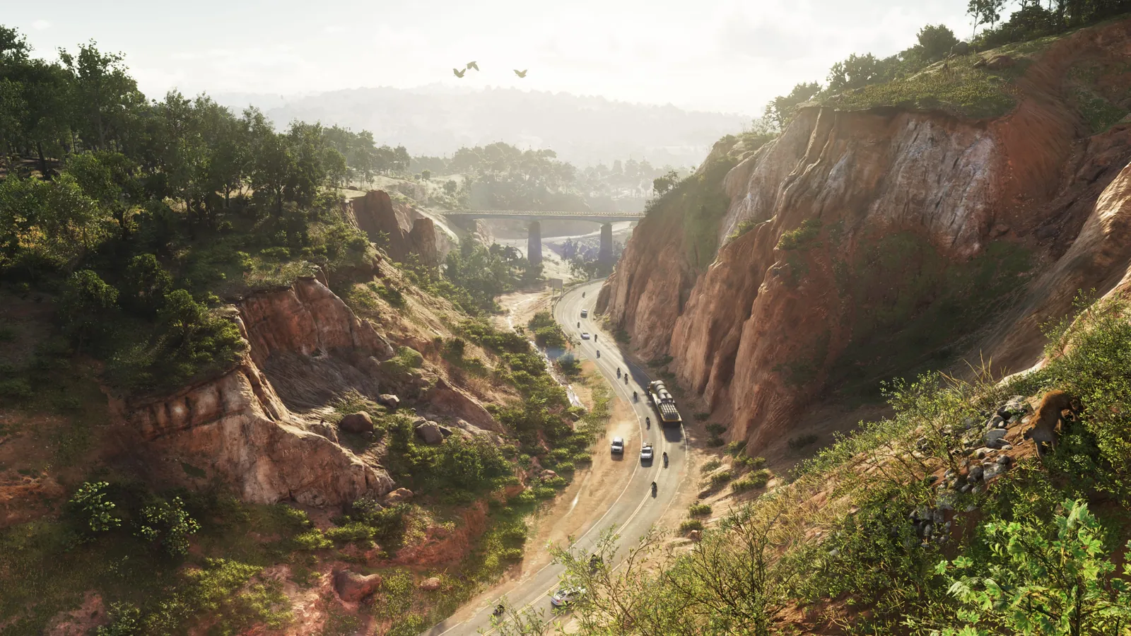
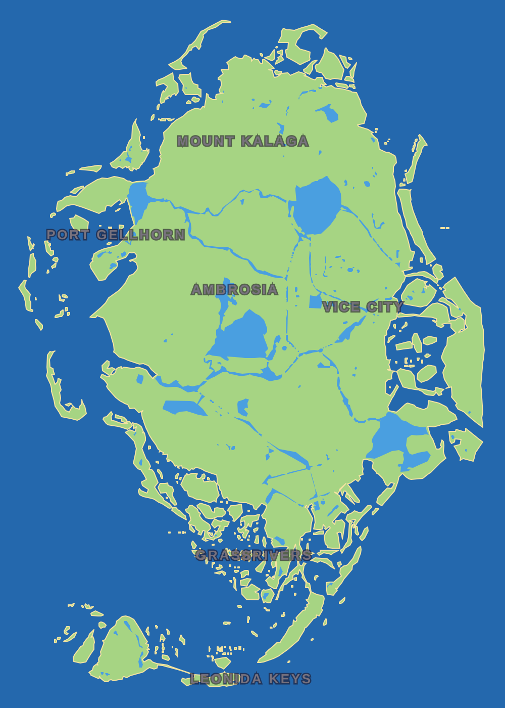
Mount Kalaga National Park covers Leonida's far north, on the border with the neighbouring state of Gloriana. It is the hilliest part of the map, with forests, canyons and rivers, and its peaks are visible from much of the state.
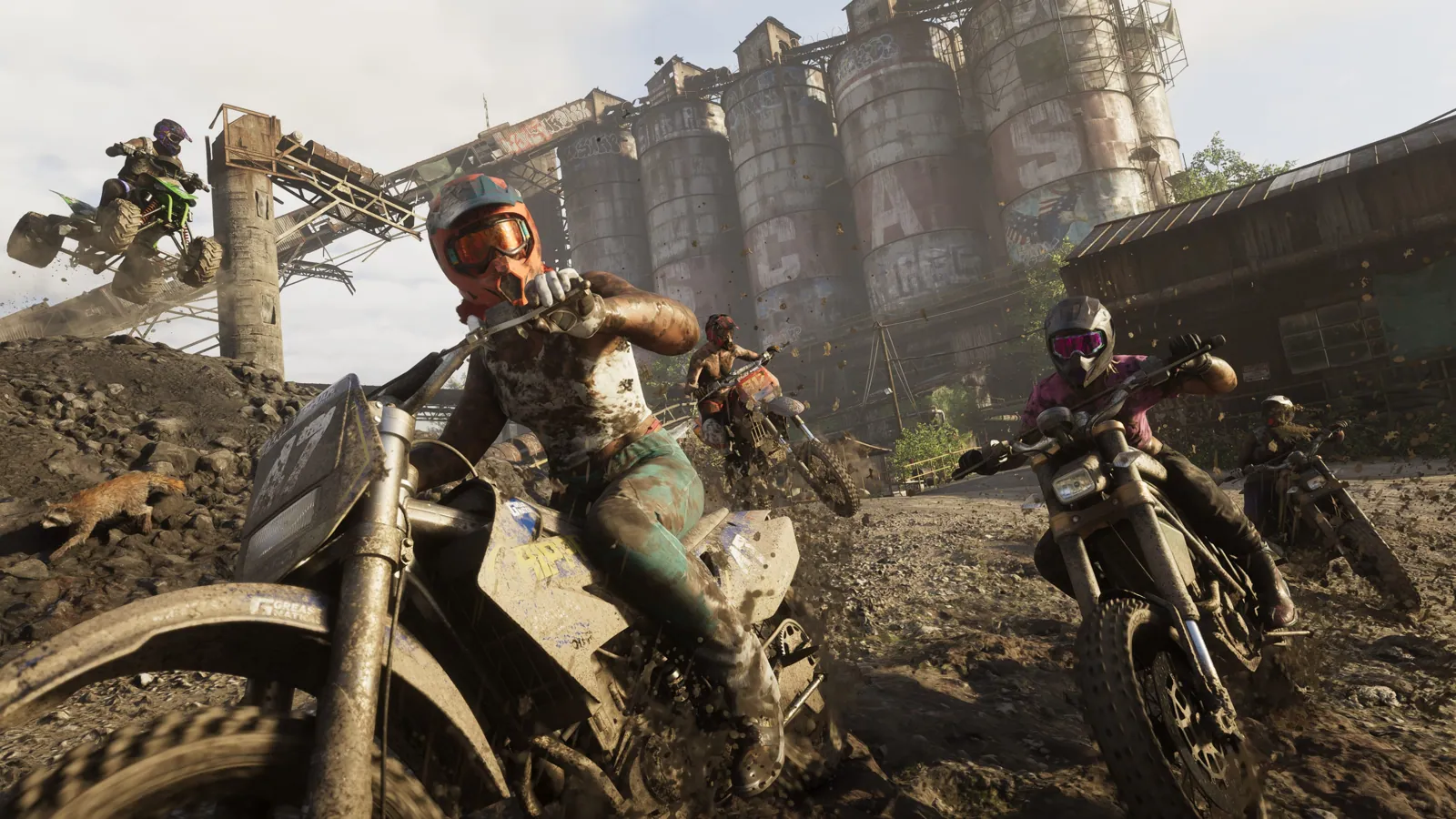
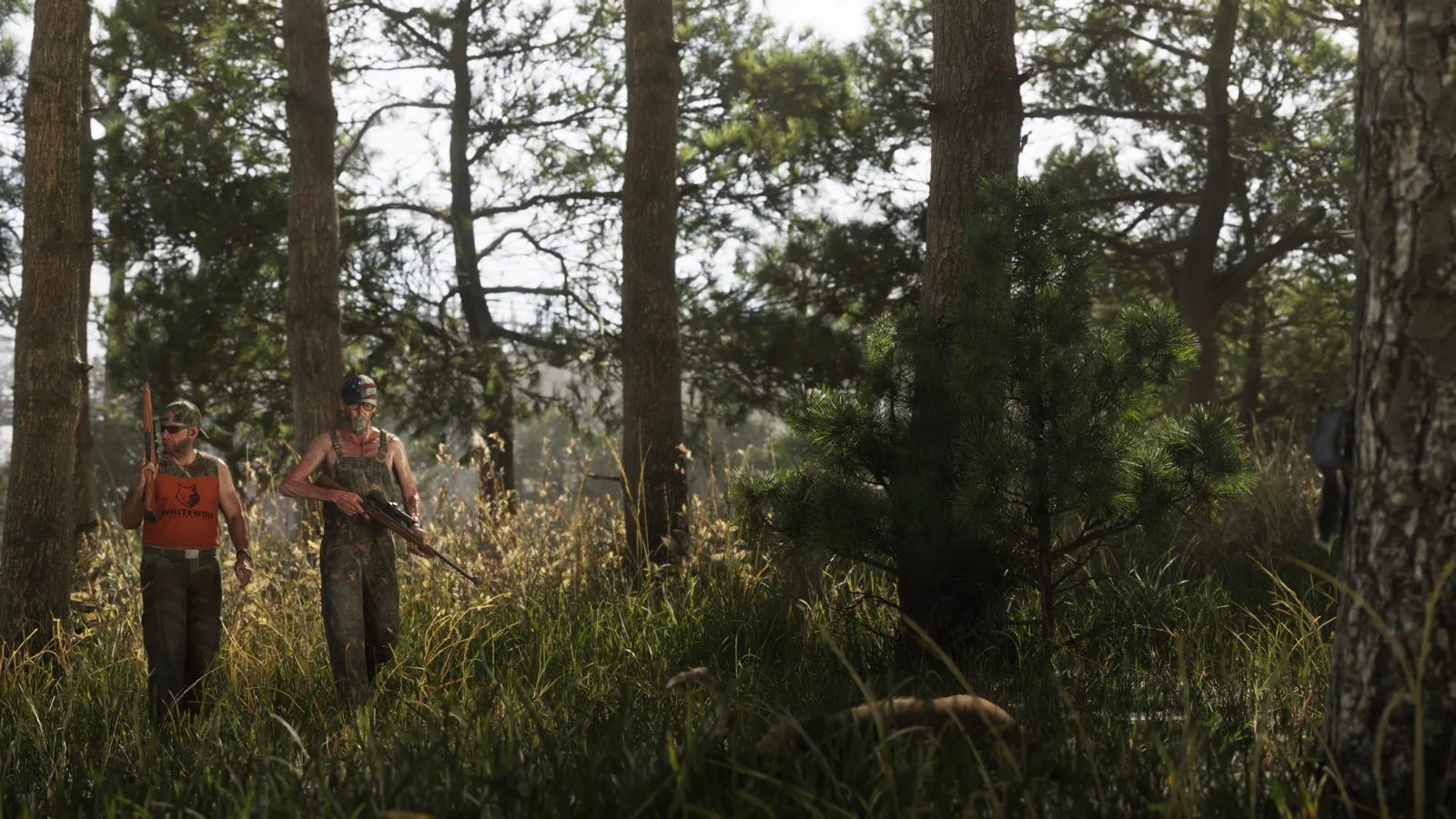
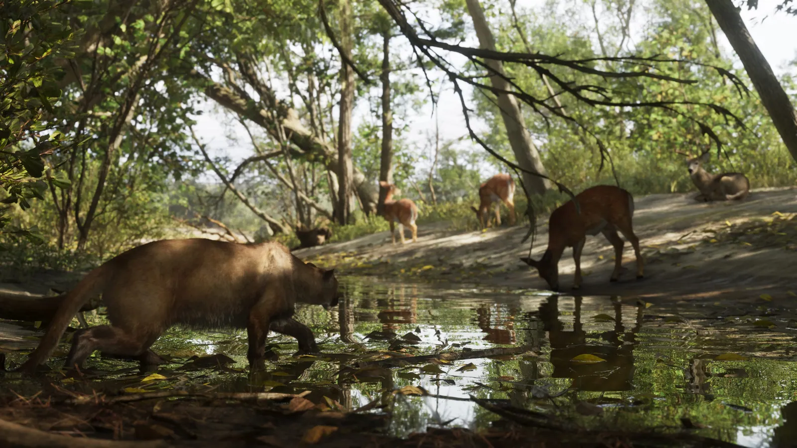
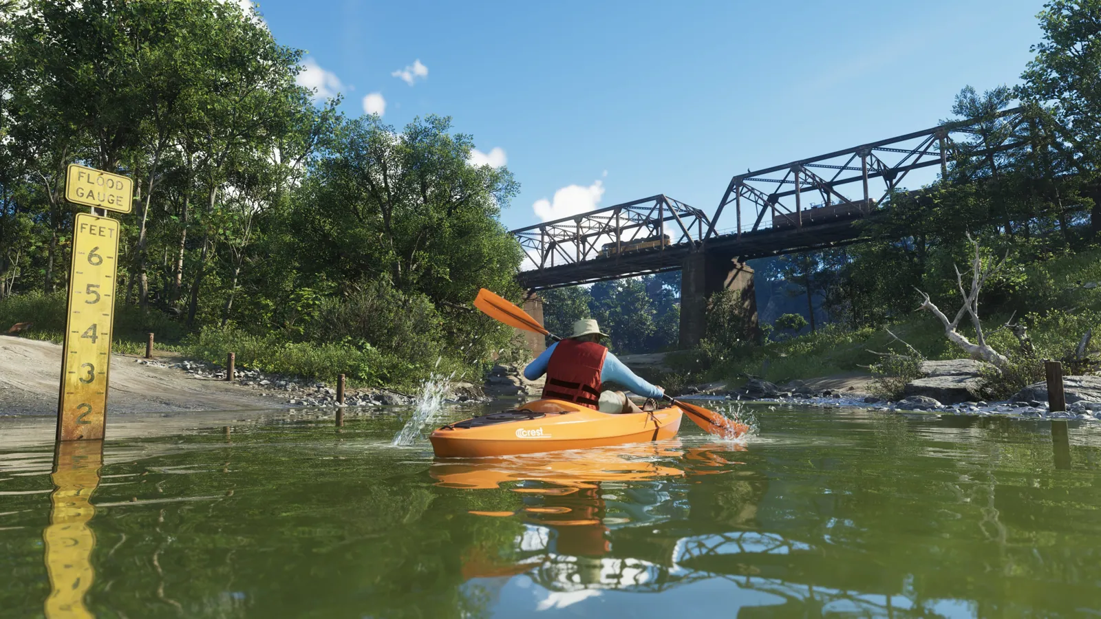
Rockstar says backwoods mystics and anti-government types live out here. It looks set to be the main area for hunting, fishing, kayaking and off-road riding, including dirt-bike racing at an old phosphate mine.
Highlights
- Forest, canyon and river terrain
- Hunting, fishing and kayaking area (confirmed as activities; hunting depth unknown)
- Abandoned phosphate mine with dirt-bike racing
- Borders the state of Gloriana (named by Game Informer; status of Gloriana as a place is unclear)
- Lummox County and Domed Hills names (rumour, leak/wiki only)
Mount Kalaga National Park on the map
Places in Mount Kalaga National Park
Nature & park
- Mount Kalaga National Park
- Domed Hills Community